Bradford Estates biodiversity data enables groundbreaking machine learning research
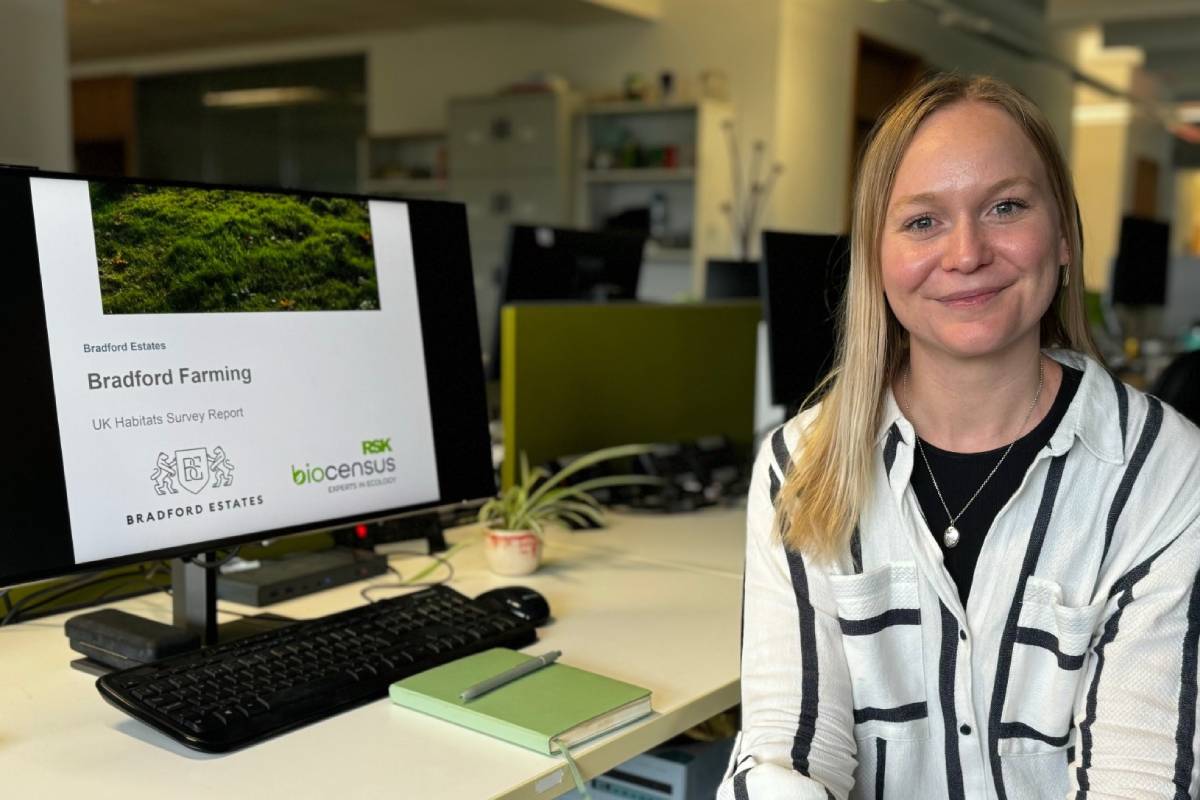
A university student is to conduct innovative research on the mapping of ecosystems which could see machine learning used instead of ground-based surveys, thanks to data supplied by Bradford Estates.
The landed estates business on the Shropshire-Staffordshire border has agreed for information from recent surveys on its land to be used by PhD student Brianna Pickstone, who is part of the Centre for Doctoral Training in Environmental Intelligence at the University of Exeter. Her research project is looking at how artificial intelligence can use satellite data to map habitats.
Brianna will compare habitat information compiled at ground level by field surveyors from RSK Biocensus on Bradford Estates land with data from open-source remote imagery captured from above by satellites. Working over the four years of her PhD research project, Brianna will carry out similar work on data from a range of other locations across the UK.
Habitats have traditionally been mapped at ground level by field surveyors, which can be time consuming and expensive to produce. The hope is that Brianna’s research may result in approaches that require less “boots on the ground” survey effort.
Consultancy RSK Biocensus has joined the University of Exeter, supported by the Government’s UK Research and Innovation body, in funding the study. Prof Richard Delahay, of RSK Biocensus, said remotely collected data, such as aerial imagery from satellites, could supplement traditional habitat mapping approaches making the process more efficient and cost-effective.
He said: “Being able to predict even some habitat types using remotely sensed data rather than ground-based surveys could help us to deliver a range of services for our commercial clients, including biodiversity net gain calculations and the design of nature-based solutions. We may also be able to develop other novel measures of biodiversity and assess carbon stocks.
“Brianna’s work is reliant on us being able to use a large amount of habitat survey data collected at ground level so that we can compare it to information derived from remote sources, so we are grateful to Bradford Estates for their permission to use the habitat data gathered on their land.”
Brianna, who recently completed the first year of her studies, said: “Through the integration of machine learning and satellite data, this research offers an exciting opportunity to bridge the gap between field surveys and advanced remote sensing technologies. I will collaborate with a range of stakeholders to ensure the research outcomes are relevant and socially responsible.
“The data provided will only be shared with core research team members and will verify the technology’s reliability so we can confirm the habitats detected by the algorithm match on-the-ground observations. Once the algorithm achieves a sufficient level of accuracy, we will be able to deploy it across a range of different habitats and sites throughout the UK.”
On its 12,000 acres principal land holding, Bradford Estates is embracing new innovative ways of doing things such as regenerative farming, circular economy and renewable energy under is 100 year sustainability plan.
Managing Director Alexander Newport said: “Every landowner has a strong interest in growing the understanding of the UK’s habitats so we are pleased that Bradford Estates can be part of this innovative project to explore the potential for remotely sensed data to contribute to the production of habitat maps used in ecological consultancy and conservation.”

Responses